Advocate for a Better Charleston
We advocate alongside residents, elected officials, city staff, and project teams for planning and preservation that betters our city.
What We Do
We advocate alongside residents, elected officials, city staff, and project teams for planning and preservation that betters our city.
What We Do
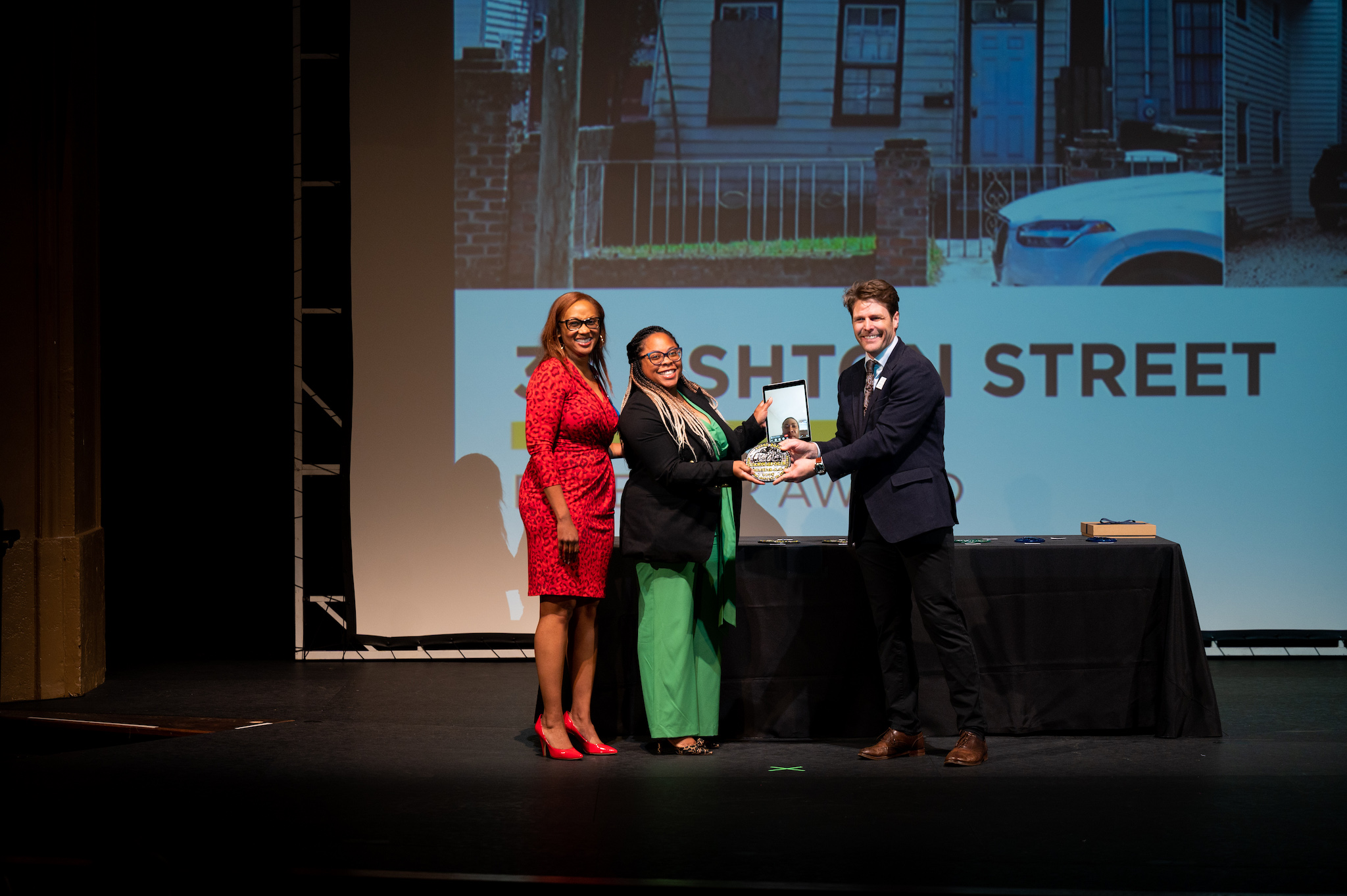
Honoring excellence in historic preservation throughout Charleston and the Lowcountry.
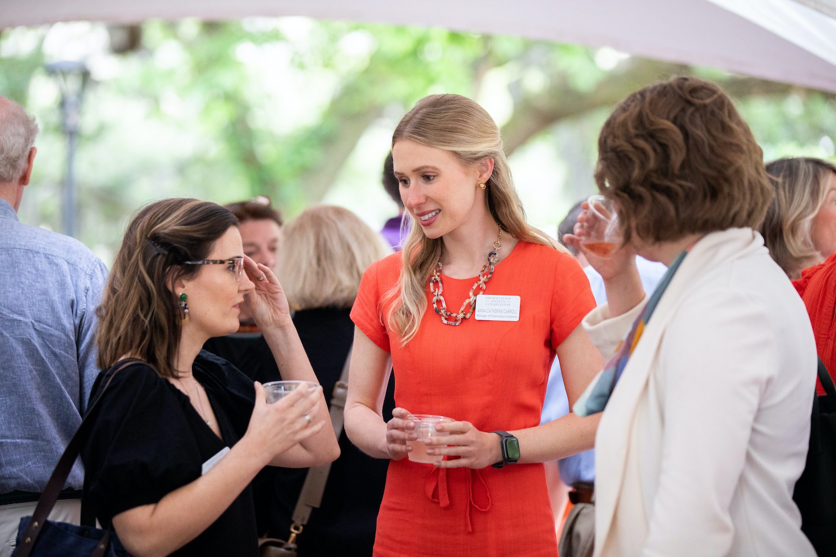
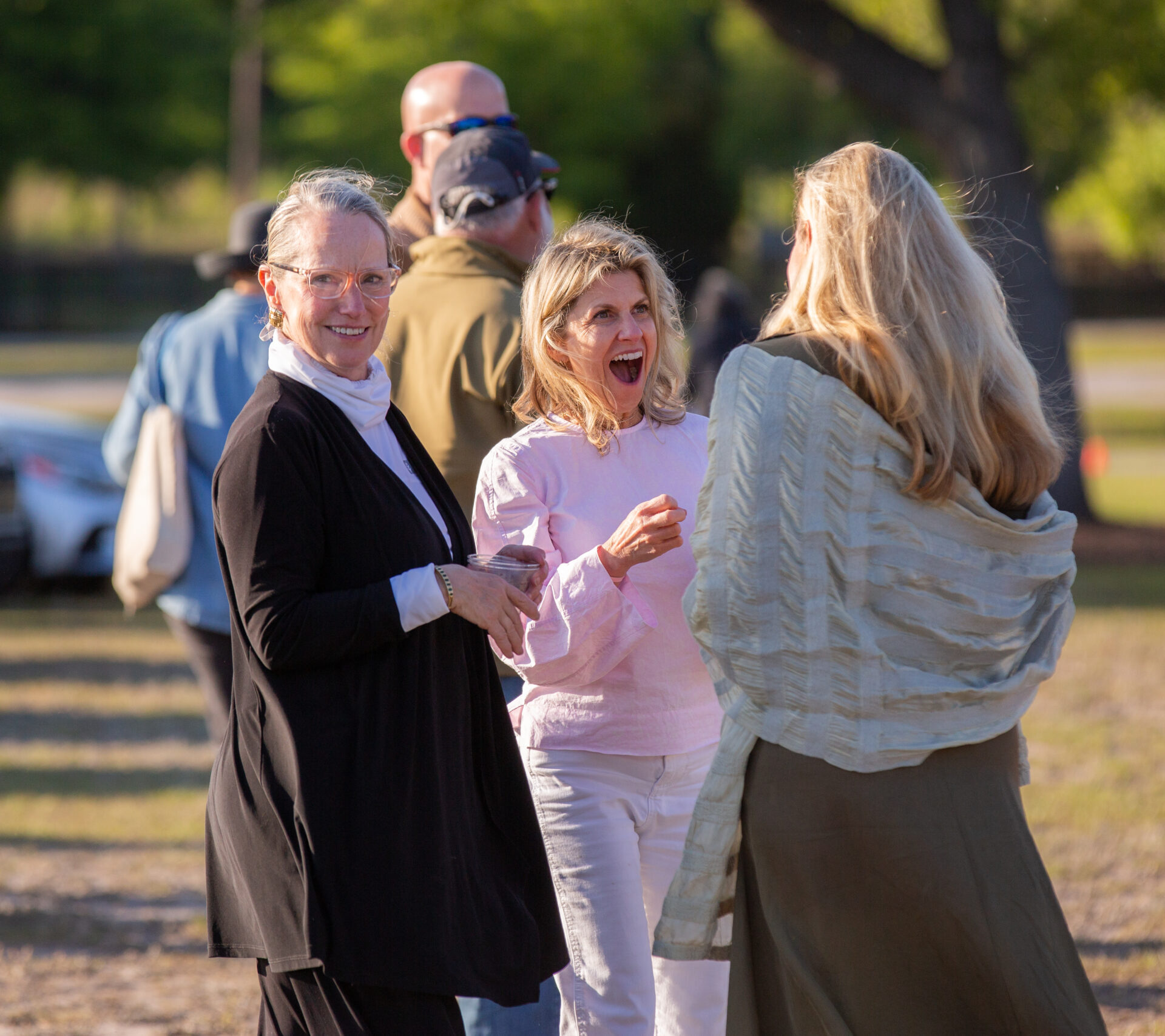
Joining the Preservation Society of Charleston is the best way to support our work. Membership in the Society represents appreciation and meaningful support for the Lowcountry’s rich architectural and cultural heritage.
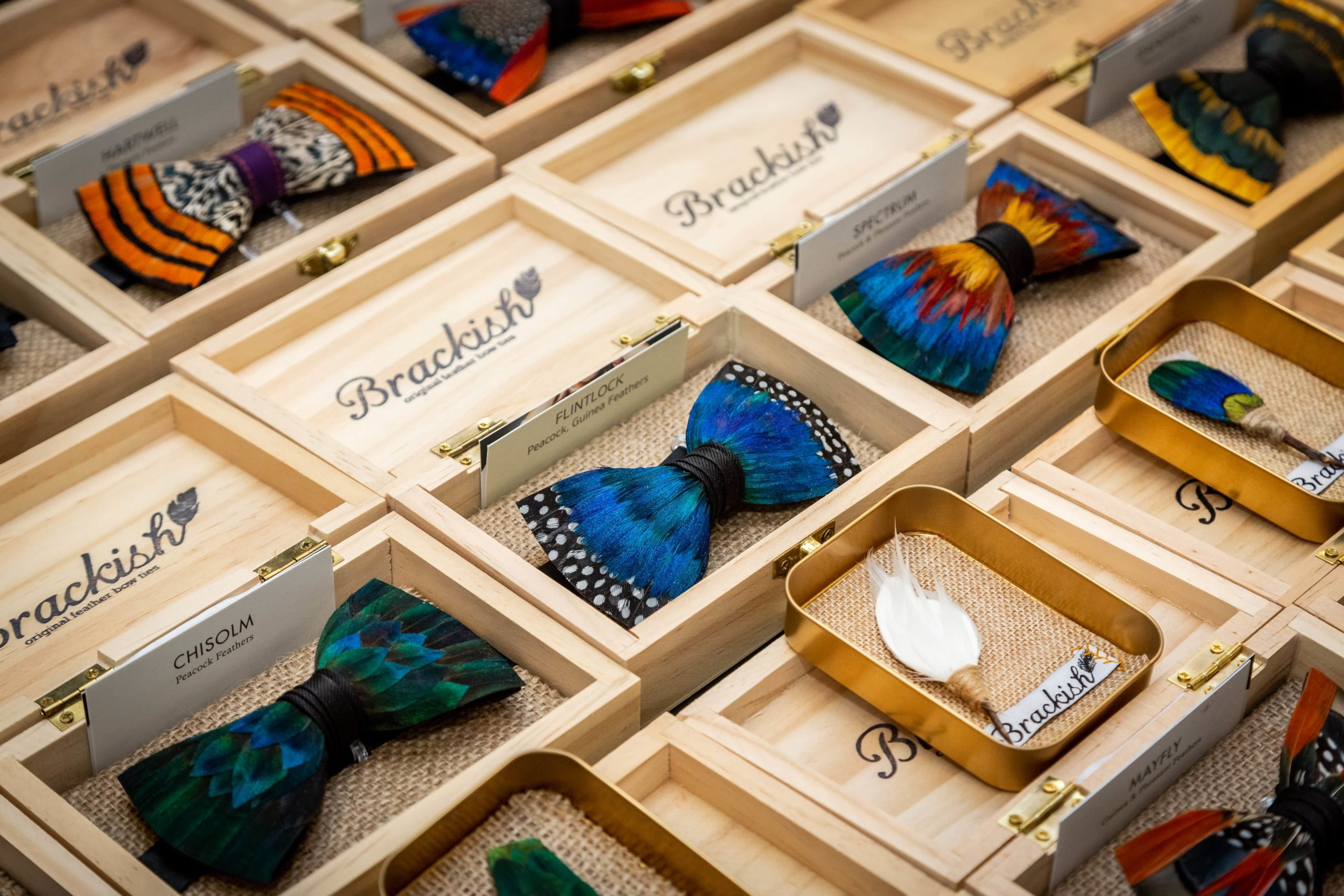
100% of retail proceeds benefit the mission of the Preservation Society of Charleston.
Shop Local Makers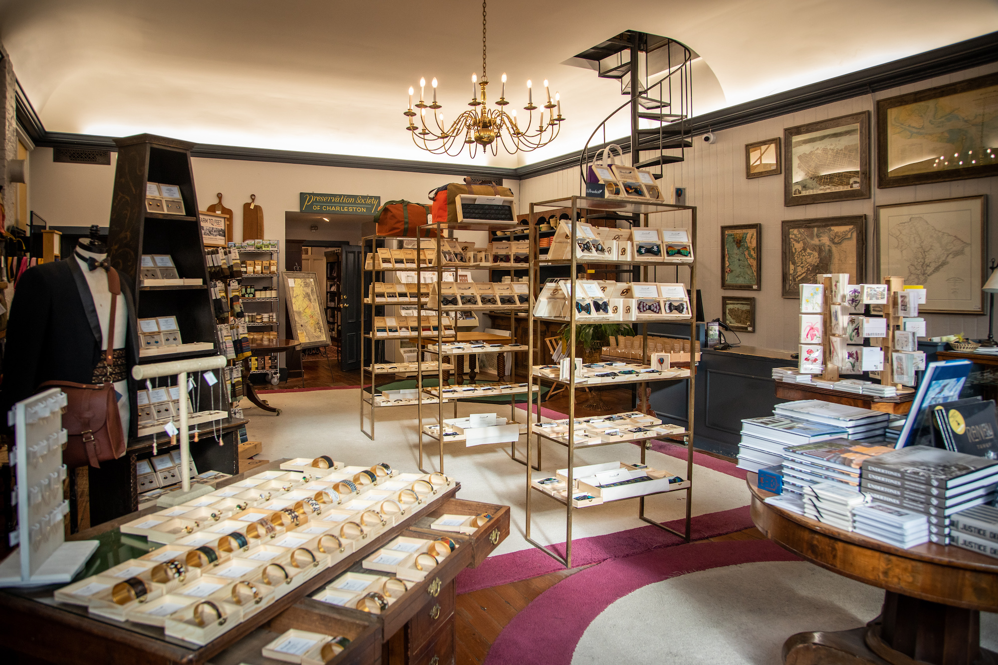
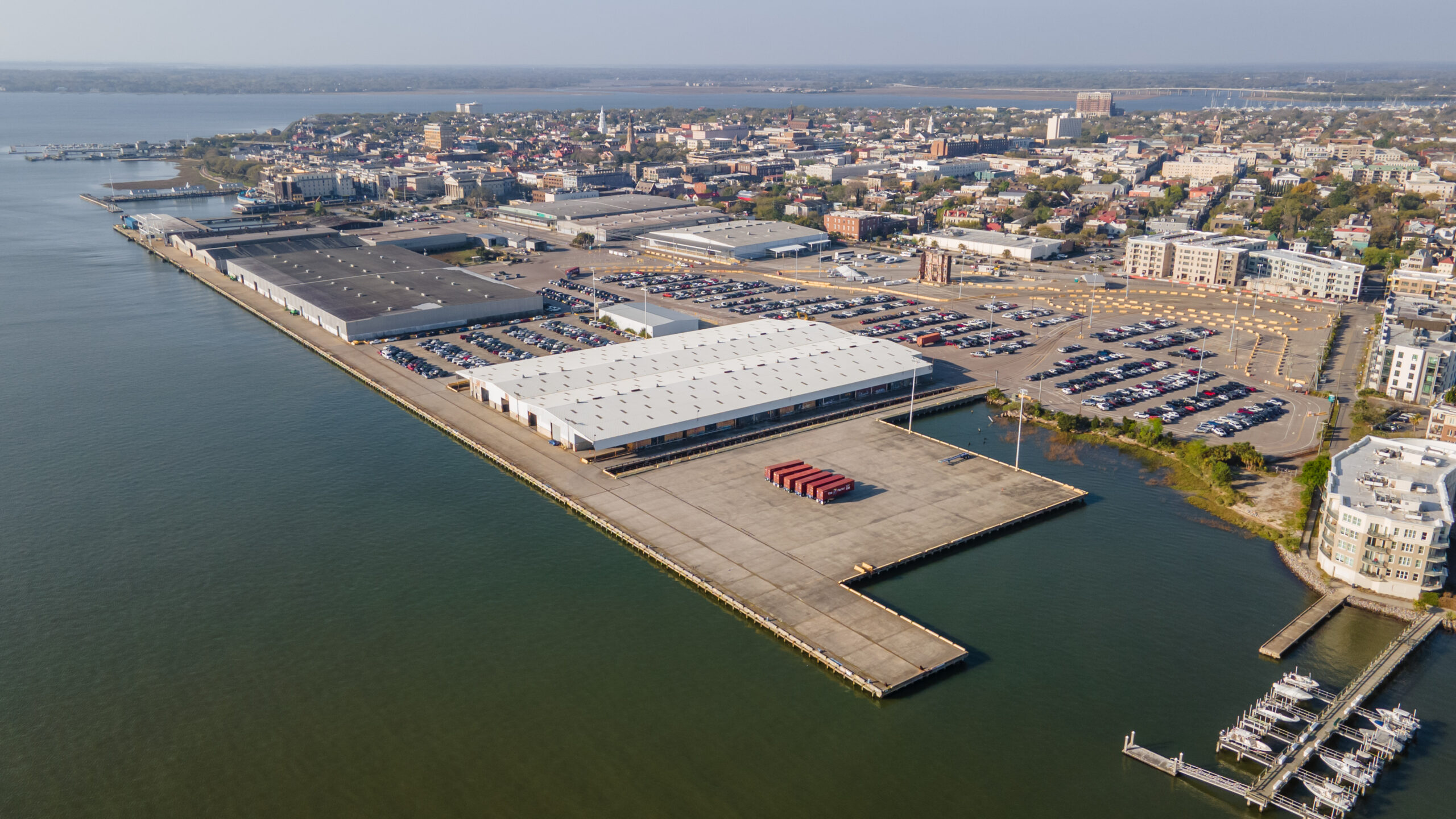
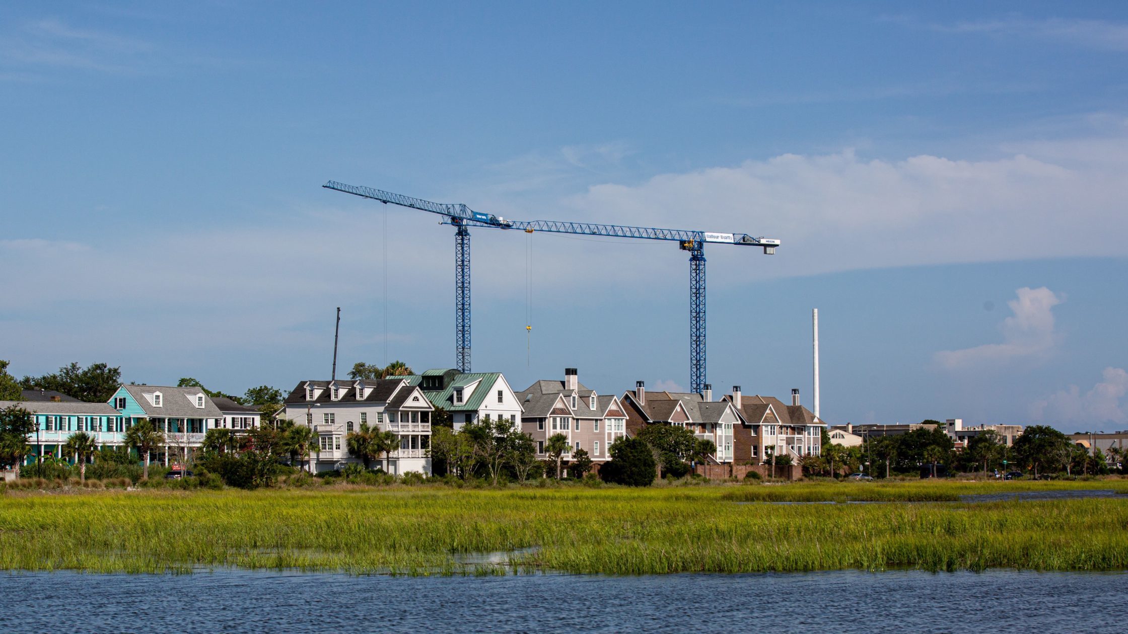
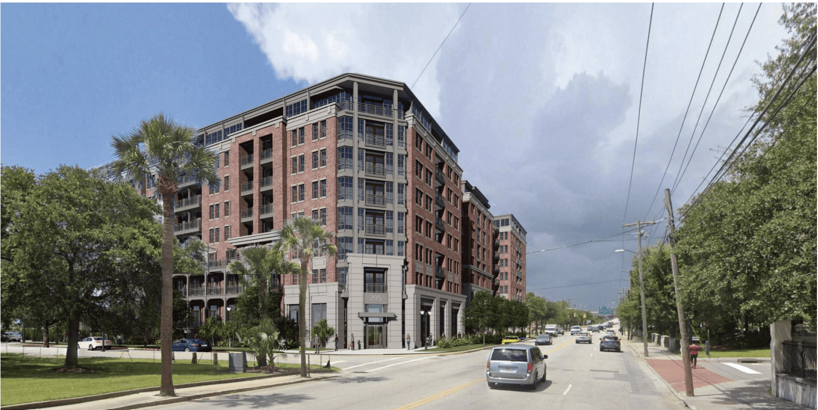
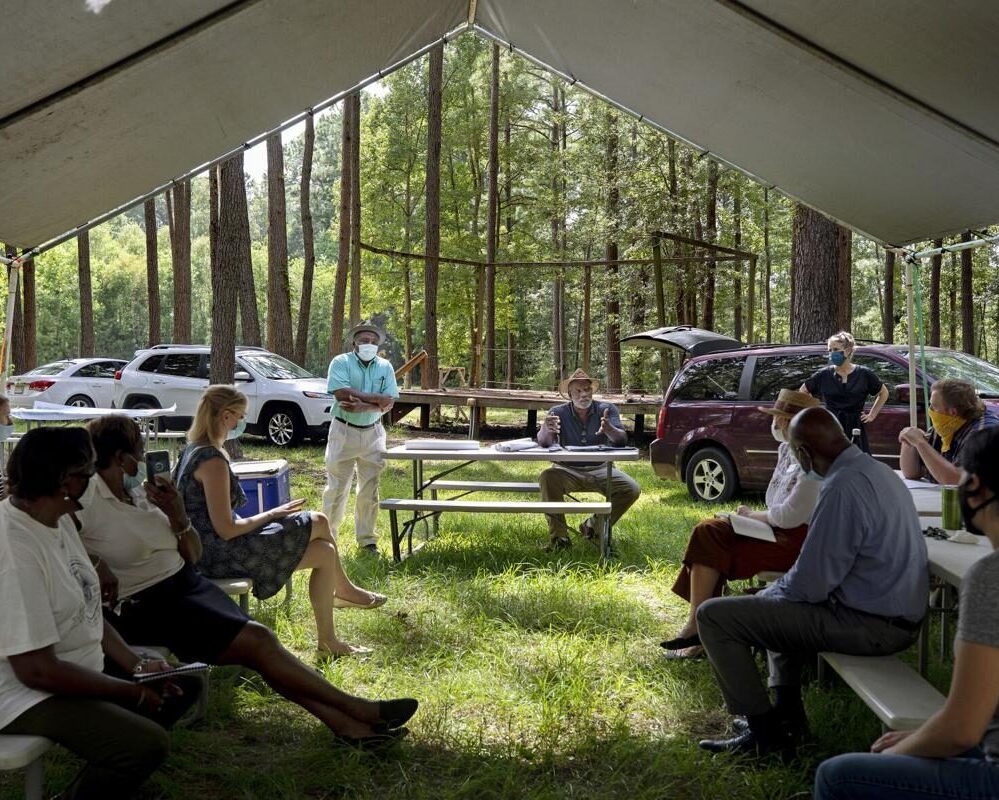
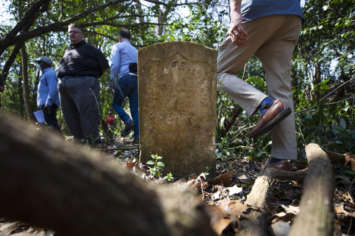
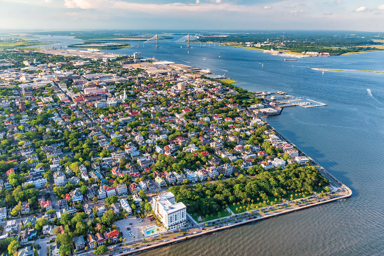
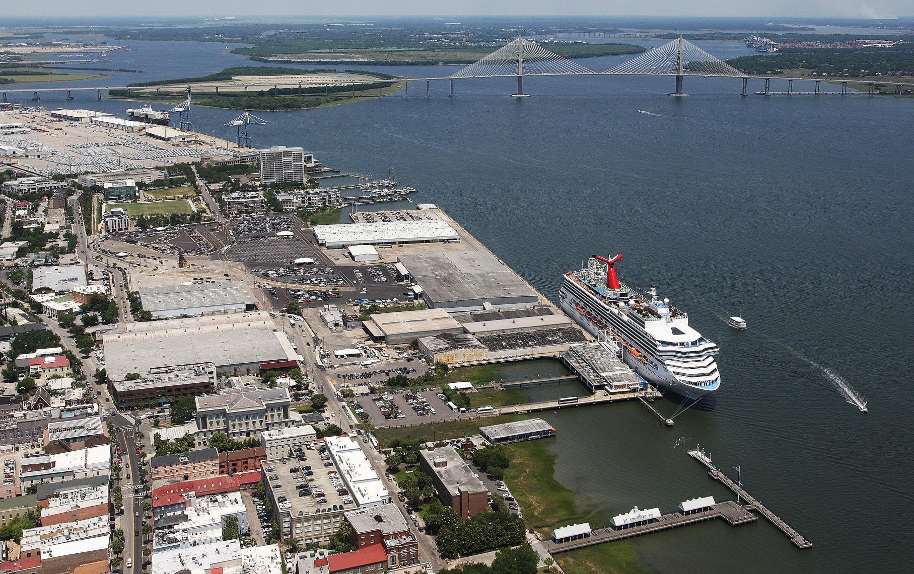
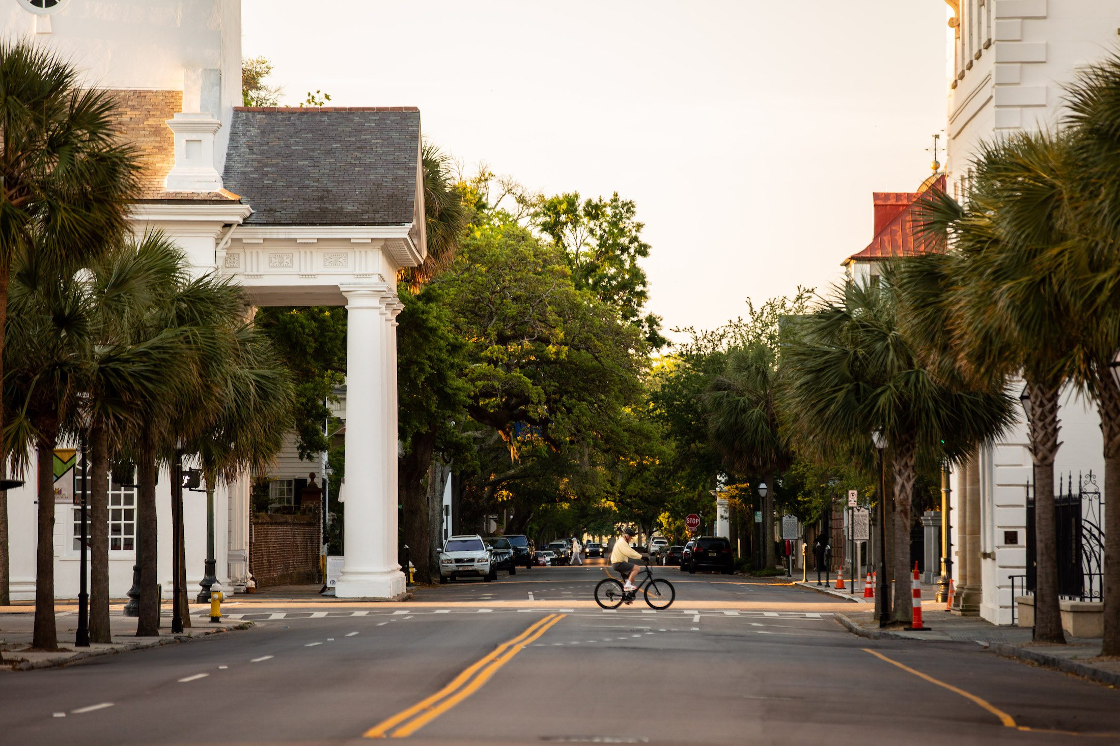
We’re working diligently to protect Charleston’s historic buildings, cultural resources, and communities by promoting better development practices, flood mitigation strategies, and tourism management within the Charleston area.
See All Advocacy Updates
We’re dedicated to the preservation and enjoyment of Charleston’s distinct character, quality of life, and diverse neighborhoods. Joining the Preservation Society of Charleston is the best way to support our work on Charleston’s growth and development.

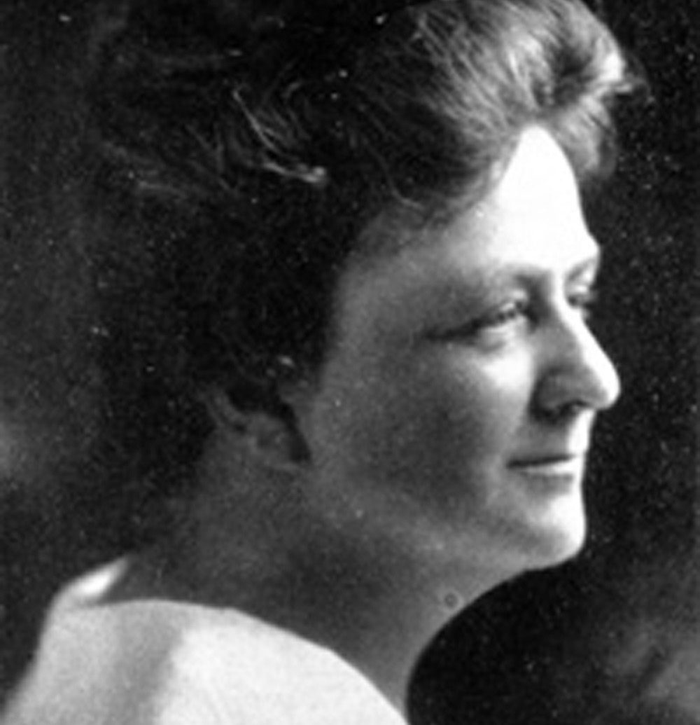
Susan Pringle Frost, Founder of the Preservation Society of Charleston
We are serving as an advocacy leader for citizens concerned about preserving Charleston’s distinctive character, quality of life, and diverse neighborhoods.
Will you join us?