Surveys and Inventories

Current documentation is the foundation for municipalities to ensure that their policies reflect the value of their historic and cultural resources. Surveys, inventories, and other studies, like Area Character Appraisals, build community consensus around stewarding historic resources and managing growth and serve as an important record in the event of disaster or loss.
What is an architectural or historic resource survey?
To understand and protect a community’s unique qualities, the first step is to determine what properties make up that community.
Surveys consist of:
- Gathering information on historic sites and structures within a defined area
- Evaluating significance of surveyed properties based on established criteria
- Creating an inventory of properties that are evaluated as significant to inform future preservation and land-use planning in the area
What is an Area Character Appraisal (ACA)?
ACAs document the physical, cultural, and historic characteristics that give a neighborhood its unique identity. It is not a complete property inventory, but a tool for understanding and communicating sense of place.
ACAs:
- Identify, document, and describe character-defining elements of the neighborhood.
- Provide residents with language to talk about neighborhood character.
- Create a resource for preservation, planning, and design decisions.
- Connect historic context to future growth and development.
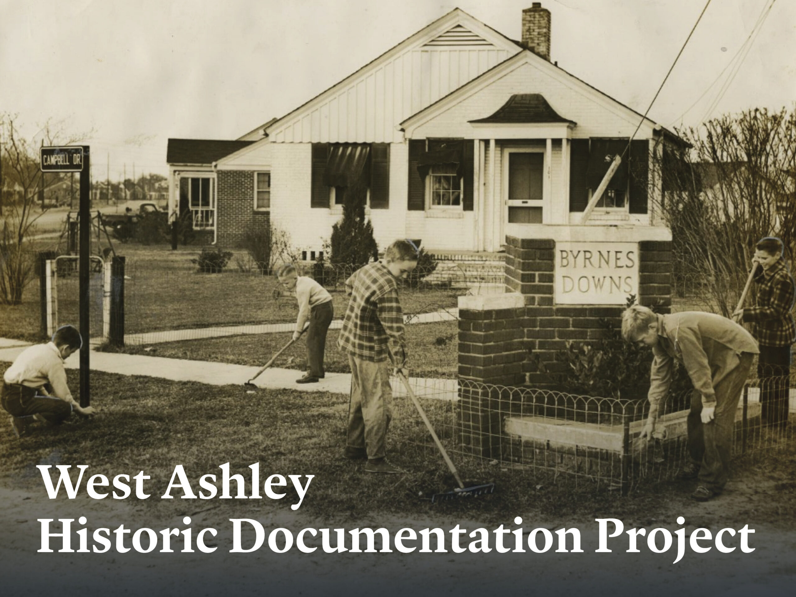
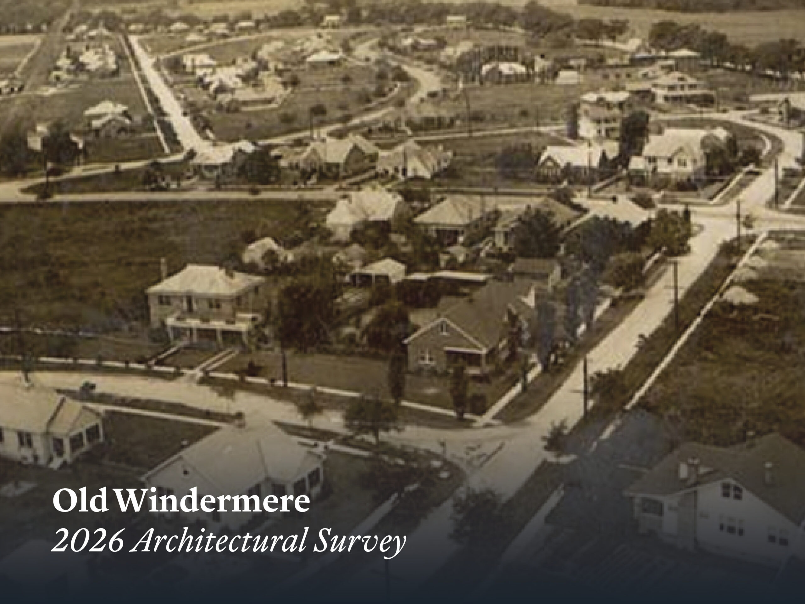
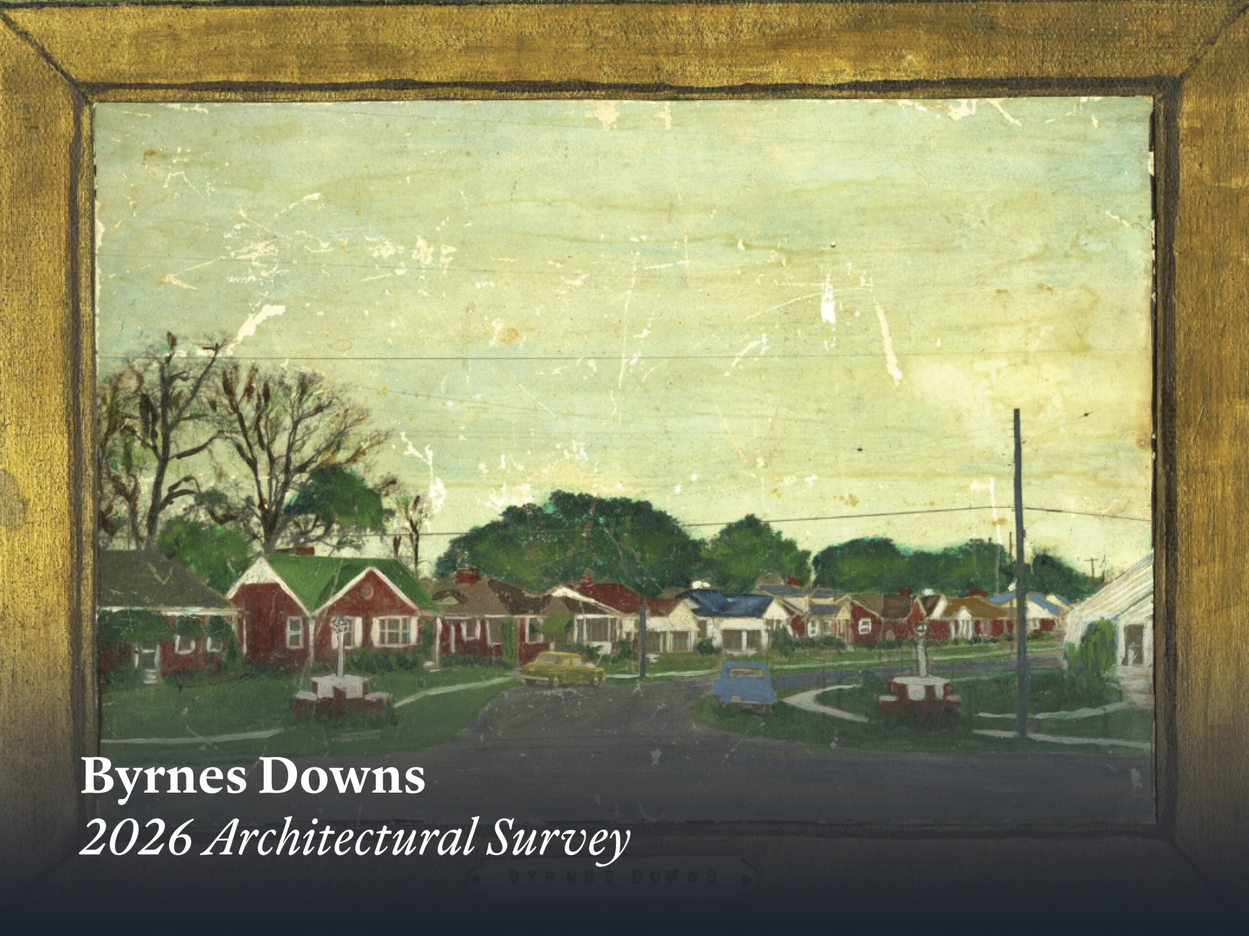
In Summer 2026, the Preservation Society of Charleston embarked on an architectural survey project in two historic suburban neighborhoods in West Ashley: Byrnes Downs and Old Windermere. In close collaboration with neighborhood leaders, advocates, and stakeholders, the PSC team digitally documented more than 500 historic structures across these neighborhoods and identified previously unexamined typologies and unique development patterns.
The neighborhood surveys were completed using ArcGIS Survey123 and were modeled after the South Carolina Department of Archives and History’s (SCDAH) historic property survey form. Each property survey card includes photographs, dates of construction, architectural styles, typologies, building materials, character-defining features, historic and current uses, as well as detailed architectural descriptions tailored to each property.
In addition to two complete neighborhood survey sets, the PSC developed comprehensive analytical reports of survey findings and created ArcGIS StoryMaps for Byrnes Downs and Old Windermere to share neighborhood history and character with West Ashley residents and the broader public. These surveys provide a strong foundation for developing preservation tools including future listing on the National Register, advanced local protections, or resources to inform future neighborhood development. Explore the StoryMaps below!

Combined City of Charleston Architectural Inventory (1973/74, 1986, 2004)
Upper Peninsula Architectural Survey

Charleston County Historical and Architectural Surveys
2016 Survey (Unincorporated Charleston County)
1989 Survey (Johns Island and James Island only)
Come Back to the Land An Exploration of James and Johns Islands African American Settlement Communities (2022)
Dorchester County Historical and Architectural Surveys
Dorchester County, South Carolina Historic Resources Survey 1997
Berkeley County Historical and Architectural Surveys
Berkeley County Historical and Architectural Inventory (1989)
Historic Resources of Berkeley County (1990)

South Carolina Historic Properties Record (S.C. Department of Archives and History (SCDAH))
Historic Contexts, Survey Reports and Other Historical Background Studies (SCDAH)
SC ArchSite (S.C. Institute of Archaeology and Anthropology and SCDAH) online cultural resource information system for S.C.; combines data from the state’s archaeological and built heritage
SCDOT survey of properties in the right-of-way prior to construction of the Crosstown Expressway, 1962

Downtown Peninsula:
Cannonborough/Elliottborough
Adopted by the City of Charleston in 2009; Robert & Company
North Central
Adopted by the City of Charleston in 2025; Preservation Society of Charleston & Historic Charleston Foundation
Wagener Terrace
Adopted by the City of Charleston in 2025; Preservation Society of Charleston & Historic Charleston Foundation
Wilson’s Farm
Preservation Society of Charleston; Robert & Company
West Ashley:
Ashley Forest
Adopted by City of Charleston in 2024; West Ashley Revitalization Commissioner and West Ashley Connects
Avondale
Adopted by City of Charleston in 2021; West Ashley Revitalization Commissioner and West Ashley Connects
Byrnes Downs
Adopted by the City of Charleston in 2009; Robert & Company
Magnolia
Adopted by City of Charleston in 2023; West Ashley Revitalization Commissioner and West Ashley Connects
Stono Park
Adopted by the City of Charleston in 2026; Clemson University MSHP Program
Old Windermere
Adopted by the City of Charleston in 2009; Robert & Company
Washington Park
Adopted by the City of Charleston in 2026; Clemson University MSHP Program
Charleston County:
Hamlin Beach
Adopted by Charleston County in 2026; Gullah Geechee Heritage Preservation Project; Clemson University MSHP Program
Lincolnville
Gullah Geechee Heritage Preservation Project; Clemson University MSHP Program
Red Top
Gullah Geechee Heritage Preservation Project; Clemson University MSHP Program
Ten Mile
Ten Mile Neighborhood Association