Cemetery Resources

In recent years, the Preservation Society has embarked on digital mapping projects in historic cemeteries located in the Charleston Cemetery Historic District in an effort to preserve under-documented burial grounds, facilitate descendant engagement, provide public access to data, and promote stewardship. Engagement with local partners, descendants, and members of the community is essential in these projects.
While Magnolia Cemetery may be the most widely known, of the 23 cemeteries located in the culturally and racially diverse Charleston Cemetery Historic District, 8 are African American Burial Society Cemeteries, and many others are linked to African American churches, Jewish synagogues, and Greek Orthodox churches. Many of these cemeteries have limited documentation and historical burial records. These cemetery mapping projects help to fill those gaps.
Are you interested in pursuing a cemetery mapping project? Reach out to Laurel Fay, Manager of Preservation & Research, at [email protected] to learn more.
Humane & Friendly Society Cemetery Mapping Project (2025)
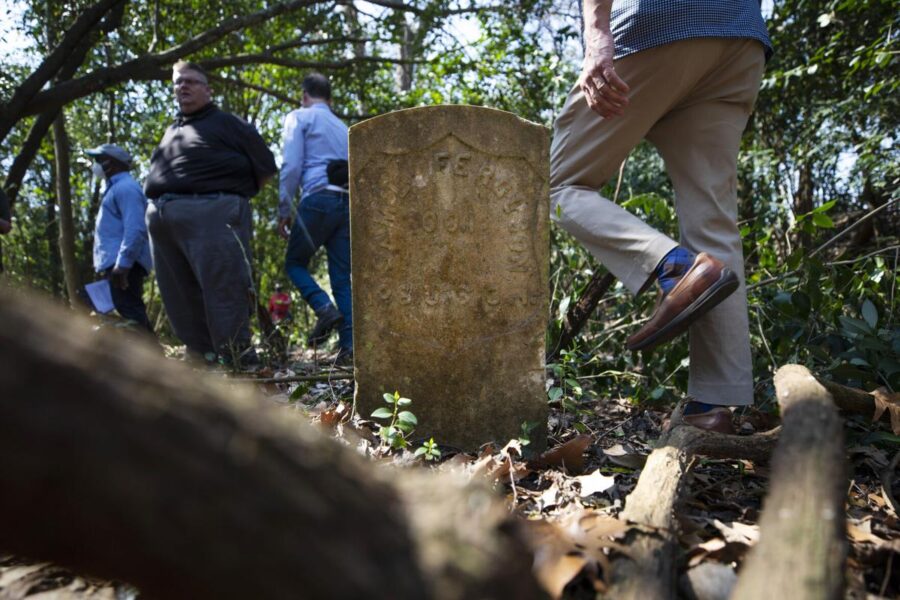
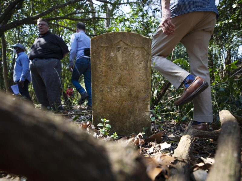
This project was completed by the Preservation Society of Charleston in partnership with the Avery Research Center for African American History and Culture. Working closely with descendants and cemetery stewards, a team of volunteers and PSC Staff digitally mapped this African American Burial Society Cemetery, established in 1856, using ArcGIS Survey123. Burial markers representing 229 people were documented and photographed, with more than 700 photos taken and shared on FindAGrave.com. An updated map was created, with a database of all those interred, and a project report.
Access Humane & Friendly resources:
Brotherly Association Cemetery Mapping Project (2024)
The Preservation Society of Charleston partnered with the International African American Museum, Anson Street African Burial Ground Project, and the College of Charleston to map the 1856 Brotherly Association Cemetery as part of the Alternative Spring Break Program. Students from the College of Charleston and College of the Holy Cross (Mass.) met with stewards and descendants of this African American Burial Society Cemetery, to learn about the history of the cemetery.
After a PSC-led training session on how to use ArcGIS Survey123, student volunteers documented 272 people interred in this cemetery. Project deliverables included the first map of the cemetery, 500+ photos uploaded to FindAGrave.com, a database of all those interred, and a project report detailing the findings and analytics of the documentation process.


