Mapping Charleston’s Black Burial Grounds
Learn more about this ongoing community-led mapping initiative to document historic, Black burial grounds, made possible by a National Park Service (NPS) African American Civil Rights Grant.

Learn more about this ongoing community-led mapping initiative to document historic, Black burial grounds, made possible by a National Park Service (NPS) African American Civil Rights Grant.

The Preservation Society of Charleston (PSC) has been awarded an African American Civil Rights grant by the National Park Service in support of the Mapping Charleston’s Black Burial Grounds initiative. The PSC’s objective is to implement a community-led mapping project to produce a comprehensive inventory of Black burial grounds in the City of Charleston. The grant application was bolstered by letters of support from the International African American Museum and the City of Charleston. Additional project partners include Tulane University and the Anson Street African Burial Ground Project.
This grant proposal was developed in response to local challenges shared by communities across the country: Black burial grounds have long been under-documented and under-protected and are disproportionately threatened by intensifying development pressures, as well as environmental risk, namely flooding and sea level rise.
In 2021, the City of Charleston passed its first cemetery protection ordinance that enables City officials to stop construction if a developer receives notice that burial sites are present. While this ordinance represents a major preservation win, there is still no inventory of burial sites to ensure development is planned proactively to avoid willful or unknowing desecration. That is exactly the information gap the PSC aims to bridge through implementation of the NPS grant-funded project.
“This work ties into a broader national conversation. Our aim is to ensure proper care for the resting places of those who built our cities yet were denied equal access to land and financial resources. We have the opportunity now in Charleston to recognize burial sites as a core part of the landscape of historic places that deserve protection.”
– Brian Turner, President & CEO, Preservation Society of Charleston.”

SAVE THE DATE! MAPPING CHARLESTON’S BLACK BURIAL GROUNDS PROJECT PREVIEW | JUNE 11, 2024
The Preservation Society of Charleston and Anson Street African Burial Ground Project invite you to join us on Tuesday, June 11, 5:30 – 7:30 PM at ILA Hall (1142 Morrison Dr.) for a Mapping Charleston’s Black Burial Grounds Project Preview.
Following a year-long engagement period, this will be the community’s first look at the draft map created in response to resident input that will be used to better protect burial grounds citywide. We are seeking resident input to make this resource the best it can be and hope you can join us.
All are welcome! Please share the invitation with family, friends, and neighbors and let us know if you plan to join us by registering online.
Through 2024, the project team will work with the community to identify, research, and define the locations and boundaries of burial sites to inform a data layer, which will be integrated into the City’s databases as a planning and preservation tool.
Black history has been severely under-collected and underrepresented and often exists more so in personal memories, oral tradition, photographs, and family papers than in formal archives. With this in mind, outreach efforts are underway to provide a platform for community members to shape this project by sharing their knowledge of Black burial sites significant to their neighborhood and family histories. The PSC is honored to be partnering with members of the Anson Street African Burial Ground Project (ASABG) research team, La’Sheia Oubre and Joanna Gilmore, to facilitate this dialogue.
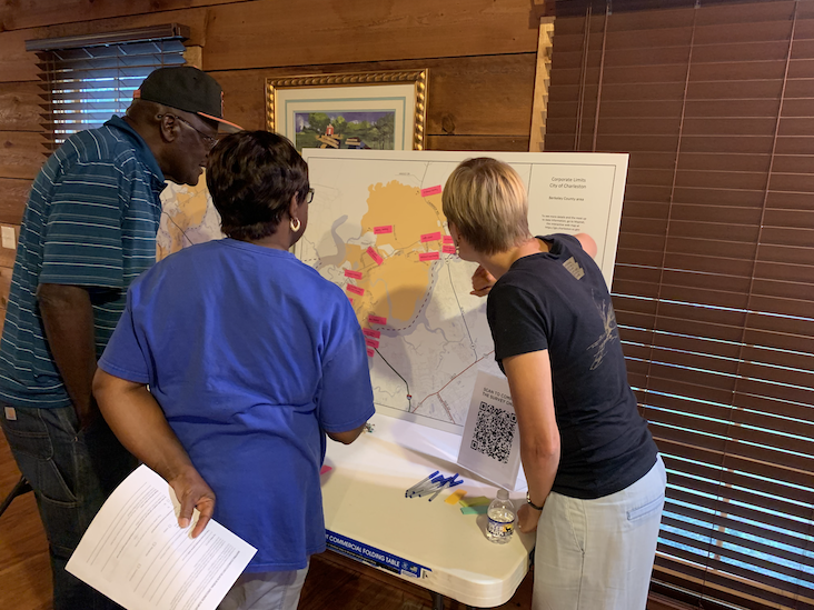
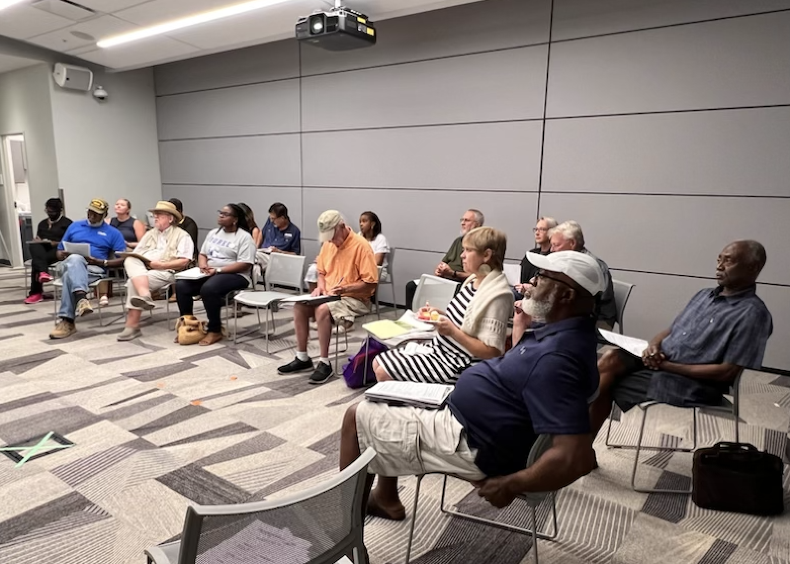
In summer 2023, the PSC and ASABG hosted a series of listening sessions throughout the City of Charleston to provide community members the opportunity to learn more about the project and share information about burial grounds important to them. If you were not able to attend in person, you can tune into a virtual listening session on YouTube.
 |
 |
| Listening sessions at the James Island Baxter Patrick Library and the Keith School on the Cainhoy peninsula. | |
Help Build the Map!
Your input is needed to build a citywide burial ground map as a preservation tool. Please complete this survey form to share burial sites in the City of Charleston that should be documented as part of this mapping project.
Information gathered will be carefully handled by the PSC and ASABG and ultimately shared with the City of Charleston Planning Department to inform future planning and land use decisions. Information may also be made publicly accessible for educational purposes with the consent of descendants.
Learn more on the Anson Street African Burial Ground Project website and contact Anna-Catherine Carroll, Manager of Preservation Initiatives, with questions at accarroll@preservationsociety.org.
Anson Street African Burial Ground Project
City of Charleston Mayor’s Office
International African American Museum
Tulane University Historic Preservation Program
African American Civil Rights Grant Program
Burial Ground Protection Resources
City of Charleston Cemetery Protection Ordinance
Mapping Charleston’s Black Burial Grounds | Virtual Lunch + Learn